Address
Washington D.C.
Work Hours
Monday to Friday: 7AM - 7PM
Weekend: 10AM - 5PM
Address
Washington D.C.
Work Hours
Monday to Friday: 7AM - 7PM
Weekend: 10AM - 5PM
Introduction Disasters such as hurricanes, earthquakes, and wildfires have devastating effects on communities, economies, and ecosystems. Timely and accurate information is crucial for effective disaster response, and satellite imagery has emerged as a powerful tool in this regard. By providing…

Introduction Satellite imagery analytics is transforming industries, from agriculture and urban planning to disaster response and national security. However, the increasing reliance on satellite data has brought several challenges to the forefront, including the sheer volume of data, concerns about…
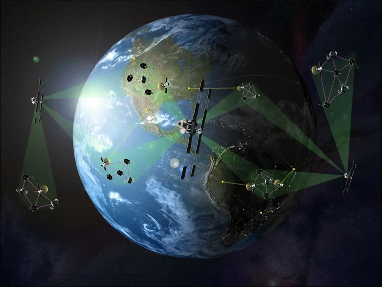
Introduction Satellite imagery is undergoing a revolution as new technologies, private sector advancements, and government collaborations redefine its capabilities. The future of satellite imagery promises higher resolution, more accessible data, and innovative applications across industries. Key trends like hyperspectral imaging,…
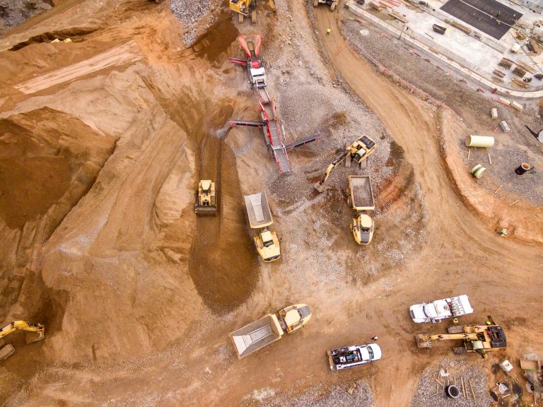
Introduction Satellite imagery has emerged as a powerful tool in the commodity markets, delivering valuable insights that were previously difficult to access or estimate. By capturing high-resolution images of the Earth, satellite data enables analysts to observe and monitor critical…
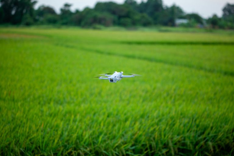
Introduction Precision agriculture has rapidly become a cornerstone of modern farming, using data-driven insights to optimize crop yield and resource use. At the heart of this transformation lies satellite imagery, which allows farmers and agronomists to monitor crop health, soil…
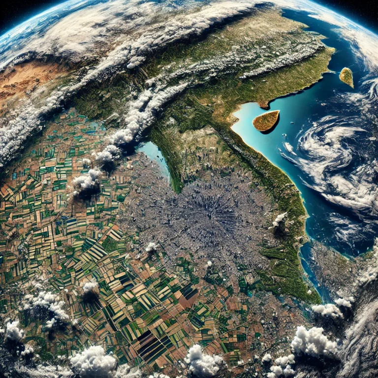
Introduction Over the last five years, the satellite imagery industry has witnessed groundbreaking innovations, driven by advancements in technology, increased demand, and the integration of new analytical tools. Satellite imagery, which involves capturing images of Earth from space, plays a…
In the rapidly evolving world of agriculture, satellite imagery is emerging as a game changer, providing farmers with unprecedented insights into their fields. Discover how satellite imagery can revolutionize crop yield predictions and health assessments, enabling precision agriculture that enhances…
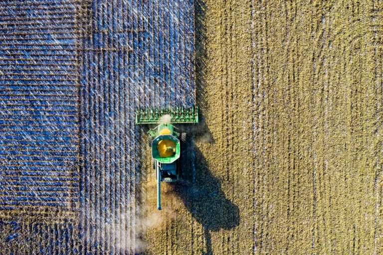
In today’s rapidly evolving agricultural landscape, precision farming has become a crucial component of maximizing productivity while minimizing resource use. One of the key tools enabling this is Normalized Difference Vegetation Index (NDVI), a satellite-based technology that allows farmers, researchers, and…